Product Description
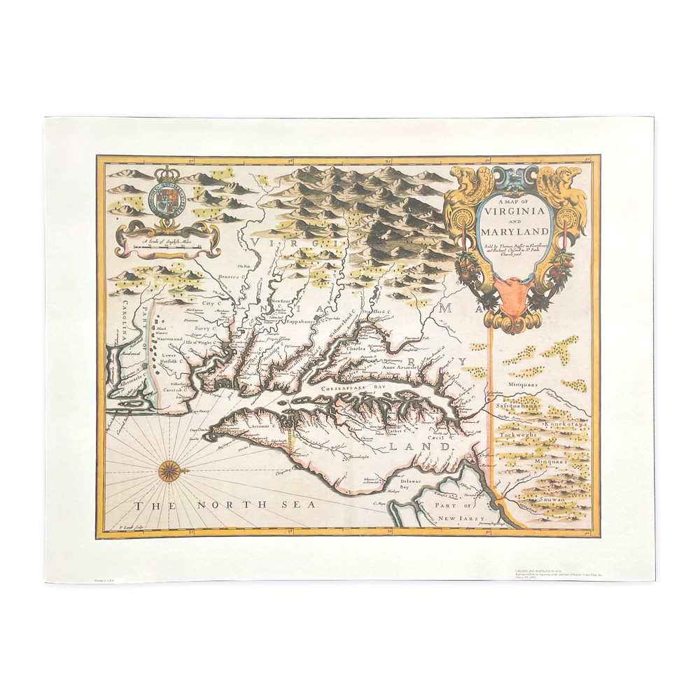
This reproduction map of Virginia is made from is an 18th-century map dating to 1755 researched and created by Thomas Jefferson's father, Peter, an accomplished surveyor, and Joshua Fry, a professor at the College of William and Mary. The original map is titled, "A Map of the most Inhabited part of Virginia containing the whole Province of Maryland with part of Pennsylvania, New Jersey and North Carolina." Depicting the area from the Atlantic Ocean to the Blue Ridge Mountains, this map was the most accurate 18th-century map of Virginia. Our reproduction map is beautifully printed on rag paper to resemble the original. Unframed.
Features
- Original 18th century map of Virginia by Peter Jefferson and Joshua Fry
- 1755 reproduction print
- Printed on rag content paper
- 17 1/2"H x 23"W
- Unframed
Product Videos
Custom Field
Product Reviews
1 Review Hide Reviews Show Reviews
-
Map
Map was handled carefully and packaged well. No damage. Thank you. Great job!


