Product Description
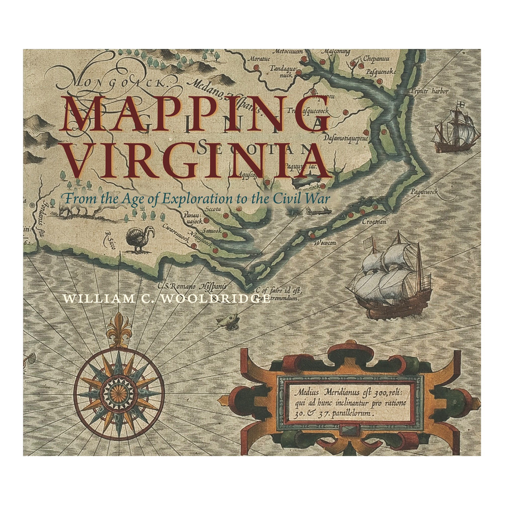
Mapping Virginia: From the Age of Exploration to the Civil War by William C. Wooldridge is sure to become a treasured addition to your library.
As one of the chief gateways to the earliest exploration and settlement of the North American continent, Virginia was the subject of much imaginative thought and practical scrutiny. Not surprisingly, it possesses a fascinating cartographical heritage. Mapping Virginia represents the most comprehensive available selection of printed maps from Virginia’s first three hundred years.
Features
- Hardcover book
- 392 pages
- 301 map plates
- Annotated bibliography and Map List
- Measures just over 12"W
- ISBN 9780813932675
About the Author
William C. Wooldridge has served as president of the John Marshall Foundation and of the Norfolk Historical Society and as chair of the map support group of the Library of Virginia.
Notable Reviews
"Mapping Virginia provides a richly illustrated, comprehensive, and insightful view of how map-makers perceived Virginia and how their vision changed over time to influence the cultural identity of the birthplace of our nation. William C. Wooldridge has meticulously researched over 300 of the most important and influential Virginia maps to provide an invaluable cartographic and historical resource that must certainly adorn the bookshelves of anyone interested in either history or maps." - Margaret Beck Pritchard, Colonial Williamsburg Foundation
The Art Museums of Colonial Williamsburg
Don't miss the exhibit Promoting America: Maps of the Colonies and the New Republic on now at The Art Museums of Colonial Williamsburg. Can't visit in person? Explore our map collection online.


